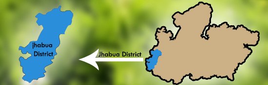
| Jhabua is a predominantly tribal district located in the western part of Madhya Pradesh. It is surrounded by Panchamahal and Baroda districts of Gujrat, Banswara district of Rajsthan and Dhar and Ratlam districts of Madhya Pradesh. River Narmada forms the southern boundary of the district.
Jhabua district consists of 8 Tehsils: Thandla, Petlawad, Meghanagar, Jhabua, Bhavra, Jobat, Alirajpur and Ranapur. The total area is 6793 Sq Kms. There are about 1326 inhabited villages and 5 major towns in Jhabua: Alirajpur, Jobat, Petlawad, Jhabua, and Ranapur.
Jhabua is a predominantly adivasi (meaning 'original people', also known as tribal) district, and suffers from high rates of illiteracy and poverty. Almost half of the population lives below the poverty line. The Bhil and Bhilala peoples inhabit the interior of the district. The Bhils celebrate Bhagoria, a tribal festival which coincides with holi, with great fervour.
The district is highly drought-prone and degraded waste lands form the face for Jhabua. The women make lovely ethnic items including bamboo products, doll, bead-jewellery and other items that have for long decorated the living rooms all over the country. The men have since ages adorned "Teer-Kamthi", the bow and arrow, which has been their symbol of chivalry and self defence.
|